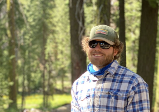
Over life spans of thousands of years, Giant Sequoia trees regularly grow to be more than 200 ft tall and 20 ft wide, making them one of the largest and oldest forms of life on Earth. Millions of years ago, these natural skyscrapers inhabited every corner of the globe, from North America to Europe to Australia and New Zealand. Today, the range of the Giant Sequoias is limited to a few small areas in Northern California, and in 2011, Giant Sequoias were recognized as an endangered species. Unfortunately, over the last 5 years, wildfires and droughts have destroyed roughly 15 % of the remaining Sequoias. Despite their dwindling numbers, many find the majesty of the Giant Sequoias irresistible, and more than a million people visited the Mariposa Sequoia Grove in Yosemite National Park last year. A few of these visitors included a group from Team Bedrock who had a special reason behind their journey: using cutting-edge geophysical technology to help understand the Giant Sequoias.
Although the Giant Sequoias have been extensively studied, unanswered questions remain about how these trees function in their unique ecosystems. Some of the biggest mysteries pertain to how the sequoias maintain their massive size, begging questions such as, “Where do the large volumes of groundwater Sequoias need come from?” and “How can Sequoias build an extensive enough root systems to support their giant bodies?”. To help answer these questions, Team Bedrock collected a geophysical dataset using state-of-the-art geophones. Geophones listen to sound waves that travel underground, and scientists can use records of what geophones hear to create pictures of the subsurface. Wireless geophones (often referred to as “nodes”) are an innovative technology made by a company called STRYDE. The nodes can collect much more data than previously possible, which in turn, enables scientists to create better pictures of the subsurface.
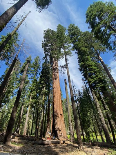
Some of the Giant Sequoia trees Team Bedrock is studying with geophysics. Photo by Lily Eligator.
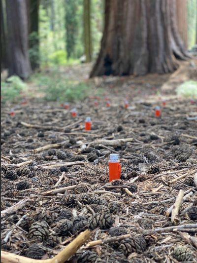
A few of the wireless geophones deployed in Mariposa. Photos by Denise Burgett.
Team Bedrock is using its 2,000 nodes to image the critical zone in new ways, which so far, includes collecting huge amounts of data around a few Giant Sequoias. This data set is many times larger than what is typically used to study the critical zone, and a subset of the data can be observed in the gif below. The animation shows waves bending around and bouncing off the Giant Sequoias as they travel across a rectangular array of nodes. This demonstrates the large amount of detailed information captured by the survey, and now, Team Bedrock is working on transforming this information into a picture of the subsurface. Powerful computational tools are needed to do this, so Team Bedrock is developing big data and machine learning methods that can process large data sets efficiently. Additionally, to create the highest-resolution images possible, Team Bedrock is enhancing standard methods for creating geophysical images with techniques like full waveform inversion. These tools will eventually be used to create detailed three-dimensional images of what’s underneath the Mariposa grove and help us to better understand the Giant Sequoias and how they live.
